Shaharyar Babar
Software Engineer
8+ years building software
Software Engineer with a background in Space Science and GIS. I build web applications with Python, Go, and TypeScript. Currently at Gneffin, working on AI-powered tools and internal platforms.
About
I started in Space Science—studying celestial mechanics and quantum systems—before specializing in GIS and Remote Sensing. That foundation shapes how I approach software: data-driven, spatially aware, and built to scale.
For the past 7+ years, I've worked across the full stack. At TPL Holdings, I led the data team and built QGIS plugins that cut processing time by 70%. At Gneffin, I architect internal platforms handling lead management, commission calculations, and AI-powered content processing.
I'm most interested in problems that combine geospatial data, automation, and practical engineering.
Tech Stack
Frontend
Backend
Database & Storage
Cloud & DevOps
Mapping & GIS
AI & Machine Learning
Services & Auth
Projects

Compoose
Advanced writing application with AI integration, real-time collaboration, project management, and comprehensive export capabilities, demonstrating modern full-stack development practices.

Black History 360 Maps
An interactive historical mapping platform built with Next.js and Google Maps API that documents critical moments in American history, featuring searchable location-based data with rich historical context and responsive design for educational exploration.

PLR Data Collection App
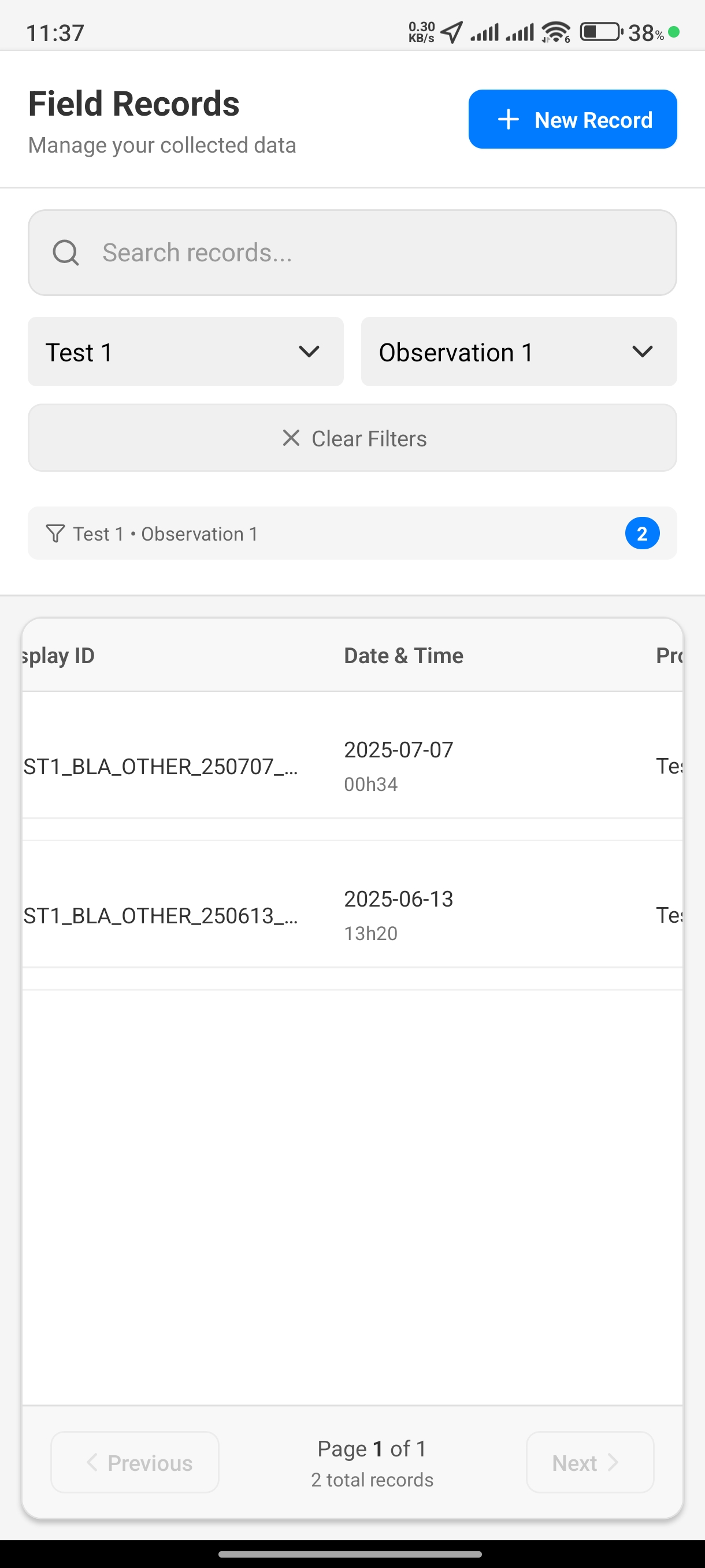
A React Native mobile app for geological field data collection featuring GPS location tracking, multimedia capture (photos/drawings/audio), offline SQLite storage, and customizable observation types for resource exploration projects.
Experience

Software Engineer
Gneffin
Building and maintaining internal tools and client-facing products. Currently focused on AI-powered content platforms and automation.
- • Internal Portal: Next.js 15 platform for lead management, performance tracking, commission calculations, and YouTube transcript processing with multi-language support
- • Compoose: Writing app with AI features, real-time collaboration, and flexible export options—in development
- • Language Learning Platform: Automated video processing system that extracts transcripts, translates content, and generates educational materials with audio and video overlays

Senior Software Developer
Logistiic (Gneffin subsidiary)
Built a complete logistics platform for the China/Taiwan seller ecosystem. Delivered MVP before project was put on hold.
- • Shipment Quotations: Dynamic pricing system integrating with multiple carriers for FBA warehouses and custom addresses
- • Product Management: Product lifecycle system with approval workflows for cross-border sellers
- • Tracking & Payments: End-to-end shipment tracking with real-time updates and secure payment processing

Geospatial Engineer
Magma Systems
Built automation tools for legacy geospatial data processing.
- • QGIS Plugin: Semi-automated digitization for legacy USA zoning maps using computer vision—reduced processing time by 70%
- • QA/QC Pipeline: Data validation system with automated error detection, achieving 99.9% accuracy

GIS Analyst
TPL Holdings (Pvt) Limited
Led the data team, developed QGIS plugins and internal tools that improved spatial data workflows.
- • Error Tracking System: QGIS plugin for issue tracking and assignment management—reduced data quality problems by 85%
- • Record Audit System: Desktop app showing detailed timelines of spatial data changes for compliance tracking
- • Street Vision Platform: QGIS plugin combining GPS, video analysis, and AI-powered suggestions—improved digitization efficiency by 60%
Education

Master's in Geographic Information Science and Remote Sensing
National University of Sciences and Technology (NUST)
Advanced coursework in Hydrology, WebGIS, Advanced Remote Sensing, GIS, and Urban Development. Specialized in spatial data analysis and geospatial modeling applications.

Bachelor's Degree in Space Science
Institute of Space Technology (IST)
Comprehensive curriculum including Astronomy, Astrophysics, Databases, Introduction to Programming, Space Law, Quantum Mechanics, and Space System Project Management. Built strong foundation in physics, mathematics, and computational methods.
Certifications

Build AI-Powered Apps with OpenAI and Node.js
Dec 2024 • Frontend Masters
View Certificate →

Build an AI Agent from Scratch
Dec 2024 • Frontend Masters
View Certificate →

Regression Analysis Using ArcGIS
Nov 2019 • Esri Certification
View Certificate →

Teaching with GIS: Field Data Collection Using ArcGIS
Nov 2019 • Esri Certification
View Certificate →

Exploring Spatial Patterns in Your Data Using ArcGIS
Oct 2019 • Esri Certification
View Certificate →